The specialists in 3D Laser Scanning in New South Wales

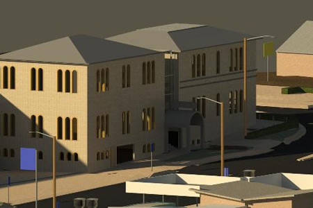
Langford & Rowe Consulting Surveyors’ professional 3D Laser Scanning service uses cutting-edge technology to create detailed, accurate 3D models for use in design and engineering projects. The collected data can be used to generate CAD drawings, diagrams, topographical maps and other visualisations for use in development planning and construction projects.
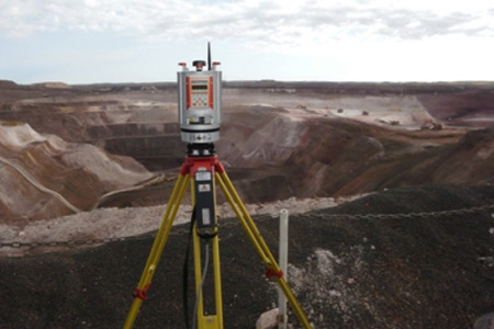
Our team can quickly scan a wide range of objects in almost any environment, capturing millions of data points in intricate detail. Our experienced surveyors can accurately visualise 3D surface features, angles, and depths using the latest laser scanning equipment and advanced software. Laser scanning is an excellent tool for engineering projects due to its ability to record information from large surfaces or complex structures. Our team can collect data from deep trenches, large-scale infrastructure projects or highly intricate objects in a fraction of the time that traditional surveying methods require.
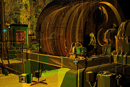
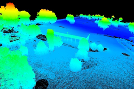
3D Laser Scanning employs a scanner to produce three-dimensional images of real-world objects and conditions. By sweeping its beam over an area or object, it collects millions of highly accurate, unique points. The X,Y,Z measurements of the scanner are recorded and displayed as a “point cloud”, which can be viewed, measured and navigated as a 3D model, providing incredible insight into any job.
Get in touch to learn how our innovative solutions can help you with your surveying needs.
We find the best solutions for our clients and are confident in our abilities to achieve the accuracy and precision that you require for your project. Contact us today to discuss your specific needs; our friendly and knowledgeable team will be happy to help!


